Our Drone Construction and Drone LiDAR Solutions Team
Our Drone Construction and Drone LiDAR Solutions Team
At Northeast Site Models, Inc., we take pride in delivering precision, dependability, and cost-effective solutions to our valued clients. Our approach combines cutting-edge hardware, software and traditional CAD techniques, ensuring an unmatched level of service that is not only efficient but also budget-friendly. With two conveniently located offices in Franklin, MA, and East Brookfield, MA, Northeast Site Models is strategically positioned to meet your needs promptly and effectively. Our founders boast a collective 18 years of expertise in 3D modeling, GPS machine control, civil heavy construction layout, cut-fill analysis, and drone mapping. We look forward to working with you on your next project!
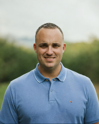
Jay Brown
 Jay grew up on a farm in North Brookfield, MA where he worked for his family landscape construction company in his early teen years through college. He went on to receive a Bachelor's degree in Business Management from JWU in Providence, RI. After graduating college in 2010 he moved to Maui, Hawaii where he first gained experience operating Trimble GPS equipped agricultural machinery, GPS layout/as-built surveying equipment, and various softwares to create 2D planting maps. Upon moving back to Massachusetts he started working as a Survey Manager for a medium sized excavation company where he created 3D surface models, as-builts, aerial drone topographic maps, drone stockpile inventory management, cut-fill maps, and provided construction layout and technical GPS support to field personnel. Jay started doing surface models, layout, and drone work on the side before teaming up to start Northeast Site Models, Inc.
Brian Murphy
 Brian went to college for architectural and building science technologies where he gained knowledge in CAD, drafting, and construction technology. He received his Bachelor's degree for Industrial Technology from Fitchburg State in 2015. Shortly after graduating, Brian started working with a MA based excavation company as their GPS & Layout Coordinator where he first gained experience using Trimble GPS survey equipment, preparing machine files for GPS, providing field layout, and flying the drone for construction use. In 2018 and 2019 Brian traveled to Haiti where he flew the drone to collect existing topographical data for a MA based non profit company. Brian then joined another MA based excavation company as their Survey Manager in 2019. Over the years his role shifted from field survey to office survey, and then from office survey to estimating/ quantity takeoffs for bidding. Brian started doing surface models, layout, and drone work on the side before teaming up to start Northeast Site Models, Inc.
