Drone Mapping for Landscape Architects
Drone Mapping for Landscape Architects
Northeast Site Models, Inc. can provide accurate and affordable drone mapping services for Landscape Architects.
OUR FLIGHT SERVICES CAN BE USED FOR THE FOLLOWING:
- Site Analysis & Planning
- Topographic Mapping
- Cost Estimates
- Environmental Analysis
- 3D Modeling
- Construction Monitoring
- Project Documentation
Site Analysis & Planning
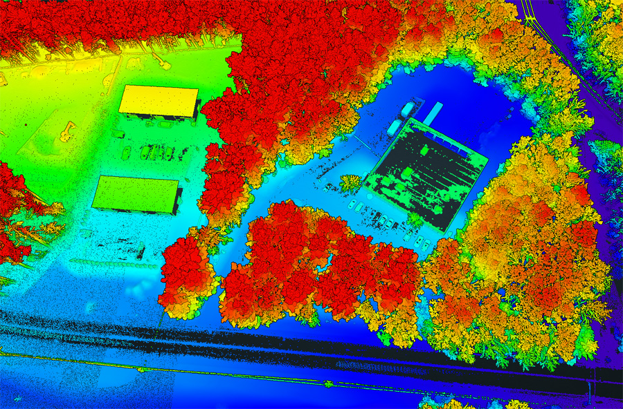
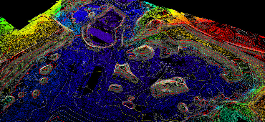
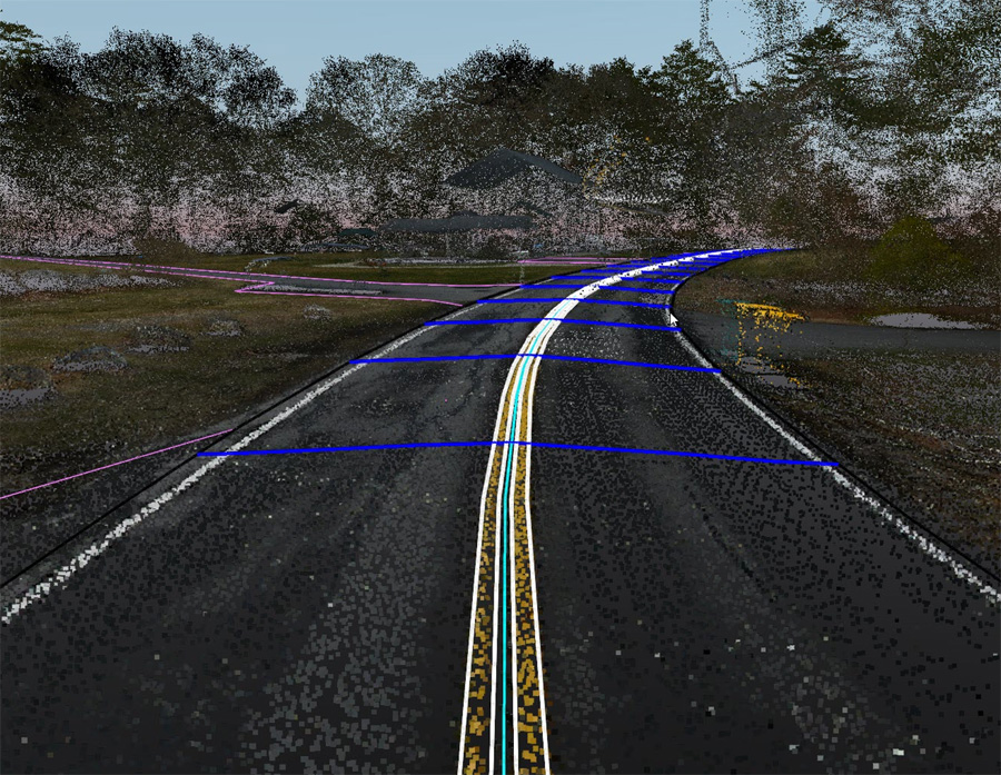
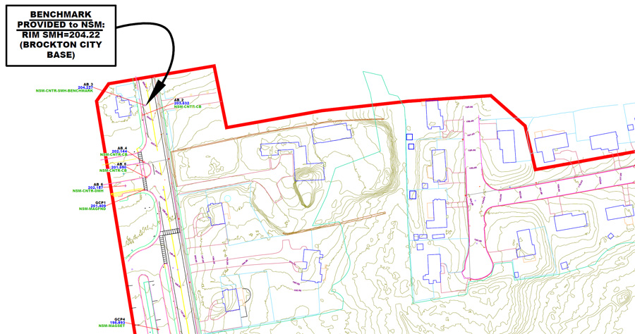
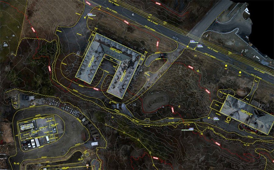
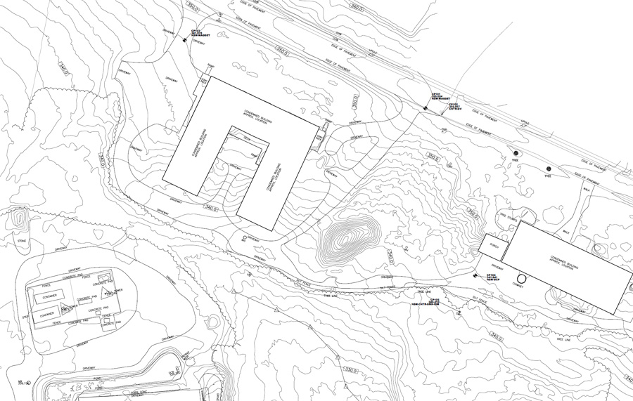
Our drone LiDAR service excels in delivering landscape architects highly accurate Topographic Models, encompassing everything from plants, trees, and buildings to hardscapes, structures, and site drainage. The precision and detail captured by our team provide landscape architects with a more comprehensive understanding of an existing site compared to other means. What sets us apart from our competitors is our attention to detail and our ability to furnish this crucial data with minimal turnaround time. Our deliverables seamlessly integrate with BIM and CAD software, ensuring a smooth transition into the design and planning phases. For added convenience, we offer a variety of file formats to our customers, including PDF plotted material, BIM and CAD file formats, and numerous file formats for third-party software use.3D Modeling and Visualization
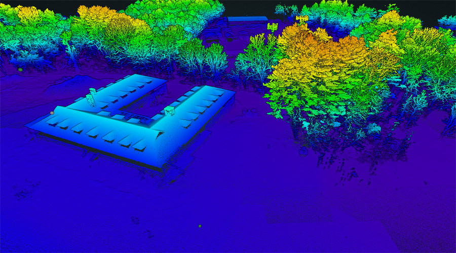
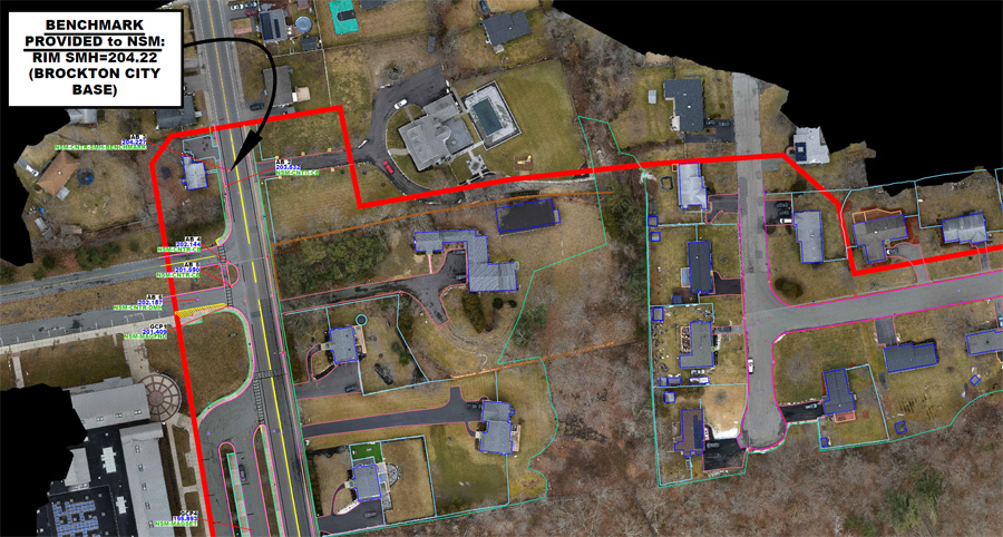
Northeast Site Models, Inc. goes beyond static data collection, providing our clients dynamic insights with aerial drone imagery and immersive fly-through videos. These visualizations empower our clients with a profound awareness of the terrain, elements, and surroundings on their site. We are able to provide 2D and 3D imagery, videos, create aerial maps, orthomosaics, take measurements and give context to the project within the surrounding community. Our data collection process can be executed at a fraction of the cost and within a significantly condensed time frame when compared to more conventional methods.Topographic Mapping
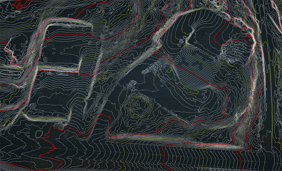
Our Drone LiDAR services can offer you a comprehensive analysis of the existing topography on your clients site. We provide you with a detailed breakdown encompassing the existing building locations, elevations, vegetation, hardscape elements, slopes and gradients, soil composition, as well as the location and elevation of existing tree canopies and plants. This information is crucial for understanding the terrain and planning design elements for your client's project. Embrace the future of precision and efficiency in drone mapping with Northeast Site Models, Inc. drone LiDAR services.Real Time Construction Monitoring
At Northeast Site Models, Inc. we strive to save our clients money on each project with added efficiencies and data tracking services. Our Drone LiDAR service can effortlessly track earthwork progress through routine site visits that deliver real-time updates to confirm that the project is hitting construction benchmarks and milestones. This allows our clients to monitor materials, deliveries, and worker progress to ensure the project stays on course.We understand each project has unique needs and we are committed to providing you with tailored service and solutions. Our experienced FAA licensed pilots are dedicated to providing the highest level of service and satisfaction. We work closely with our clients to understand their specific project requirements and provide the best solutions for their needs. Trust us to elevate your project to the next level with our affordable, accurate and efficient Cut-Fill service. Contact us today to learn more.
