Drone LiDAR Services
Drone LiDAR Services
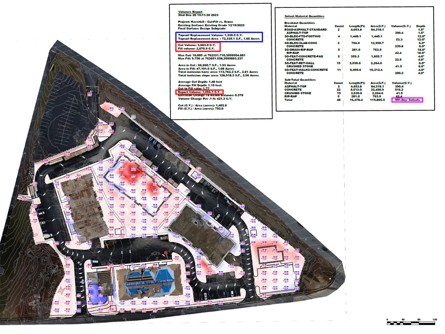
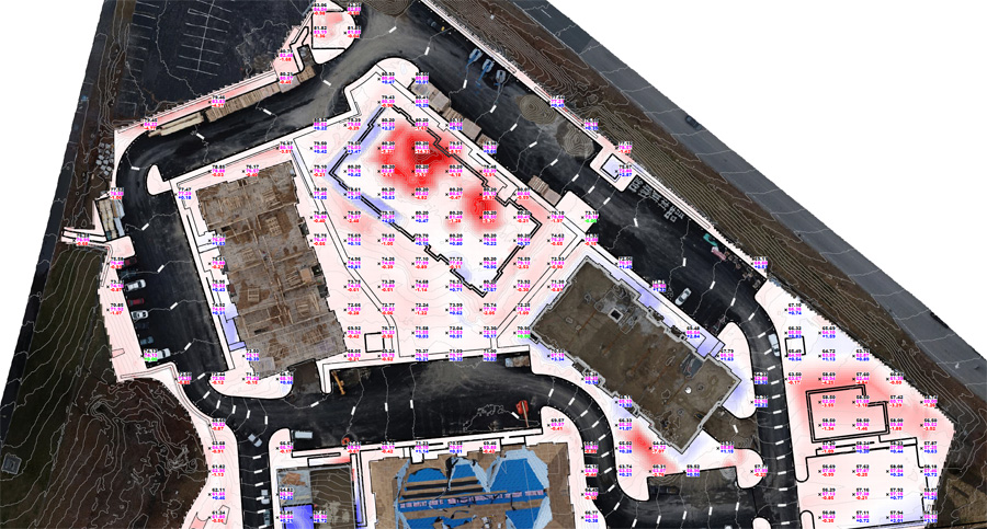
Northeast Site Models, Inc. can provide accurate and affordable drone mapping services for Excavation Companies.
OUR FLIGHT SERVICES CAN BE USED FOR THE FOLLOWING:
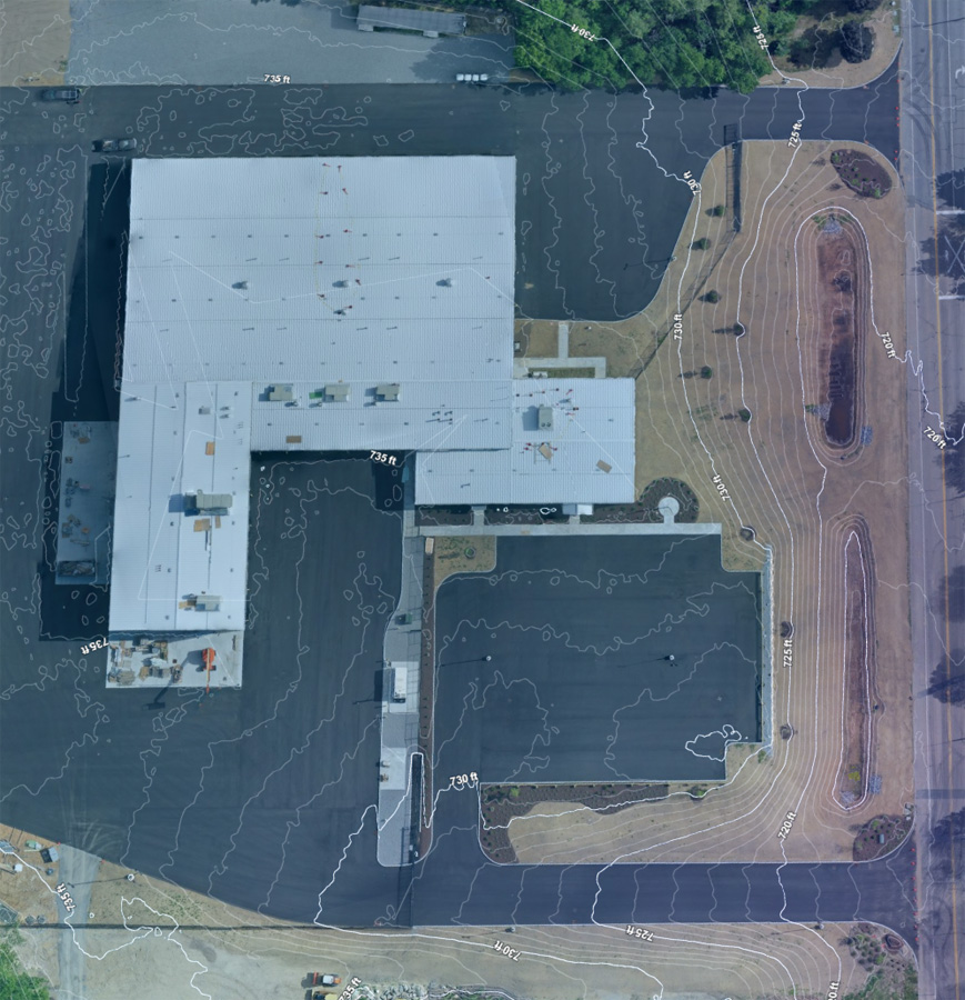
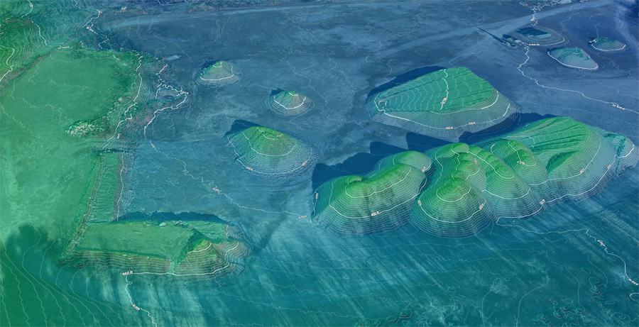
- Topographic Mapping
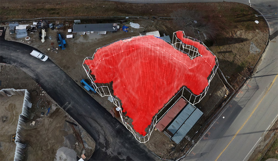
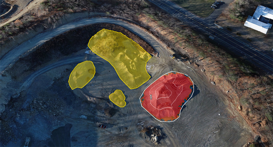
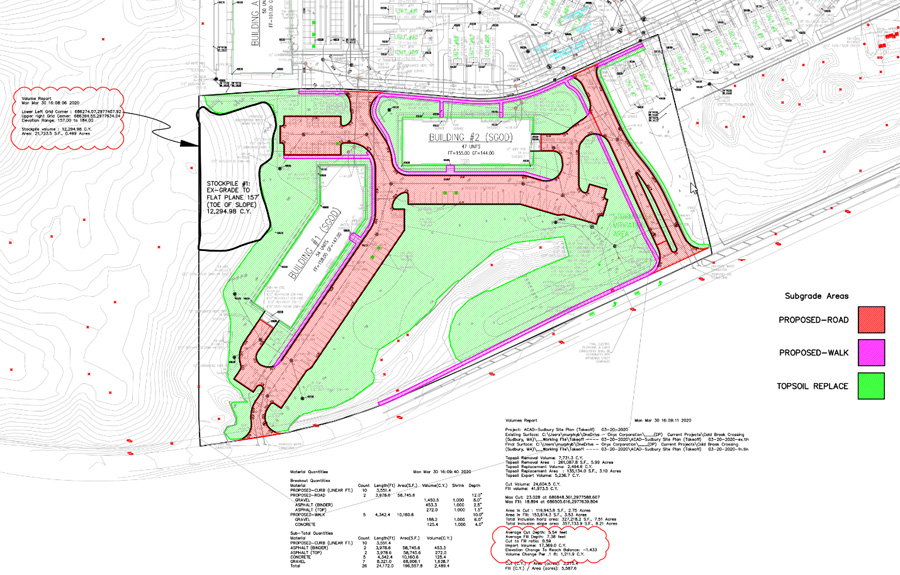
- Stockpile Inventory and Tracking
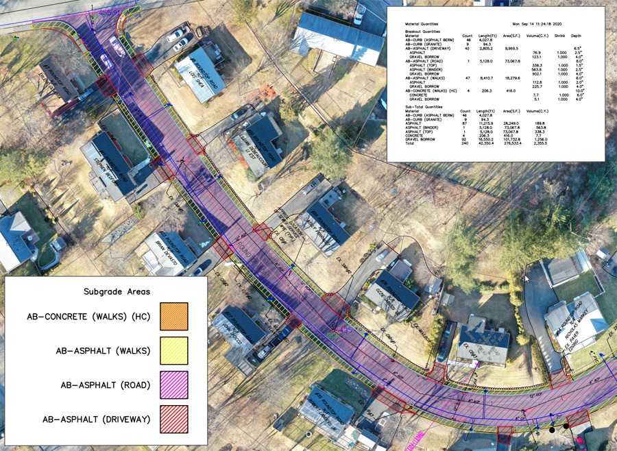
- Material Takeoffs
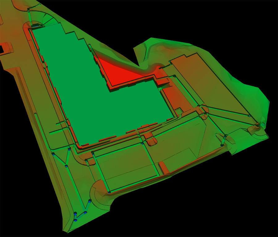
- 3D Modeling
- Real Time Construction Monitoring
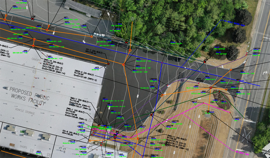
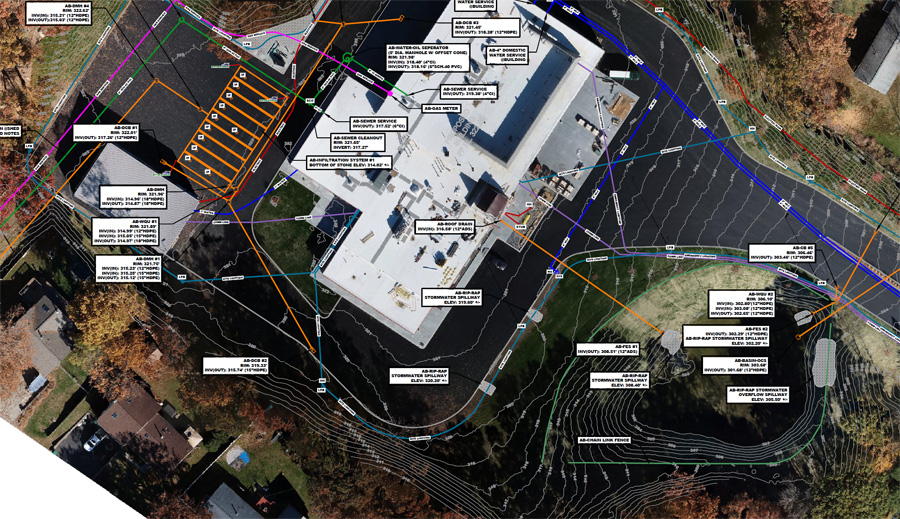
- As Builts
- Project Documentation
We provide affordable, accurate, and reliable data when you need it!
Real Time Construction Monitoring
At Northeast Site Models, Inc. we strive to save our clients money on each project with added efficiencies and data tracking services. Our Drone LiDAR service can effortlessly track construction progress through routine site visits that deliver real-time updates to confirm that the project is hitting construction benchmarks and milestones. This allows our clients to monitor materials, deliveries, and worker progress to ensure the project stays on course.
We understand each project has unique needs and we are committed to providing you with tailored service and solutions. Our experienced FAA licensed pilots are dedicated to providing the highest level of service and satisfaction. We work closely with our clients to understand their specific project requirements and provide the best solutions for their needs. Trust us to elevate your project to the next level with our affordable, accurate and efficient Cut-Fill service. Contact us today to learn more.
