Drone Flight Services for Civil Engineering Surveyors
Drone Flight Services for Civil Engineering Surveyors
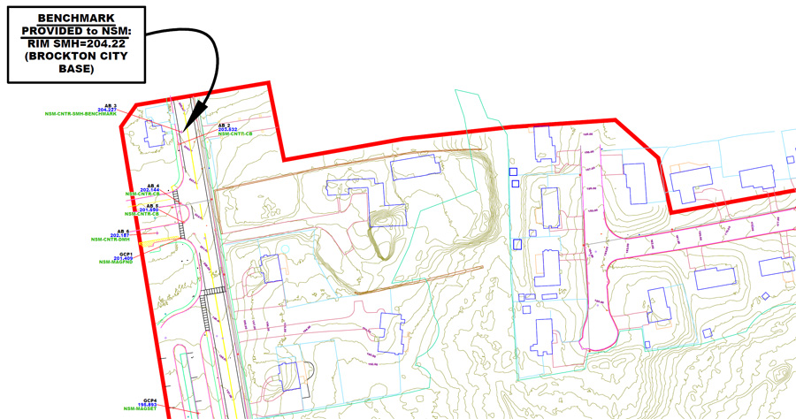
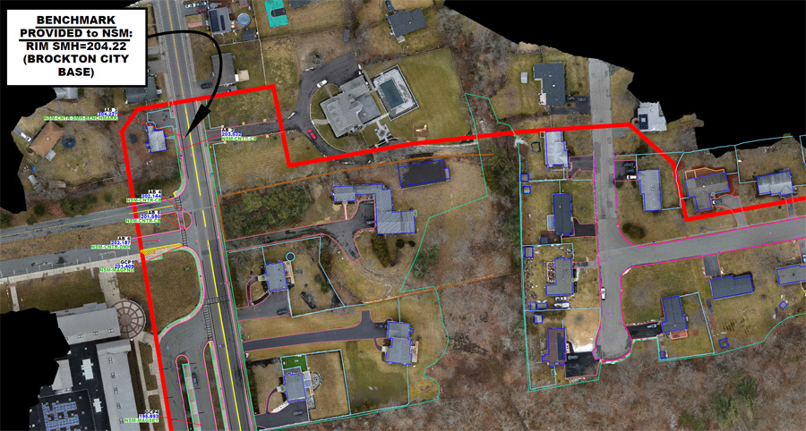
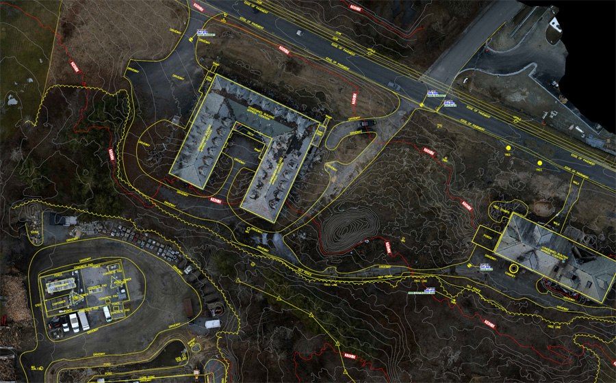
Northeast Site Models, Inc. can provide accurate and affordable drone mapping services for Civil Engineers and Land Surveyors.
OUR FLIGHT SERVICES CAN BE USED FOR THE FOLLOWING:
- Site Analysis & Planning
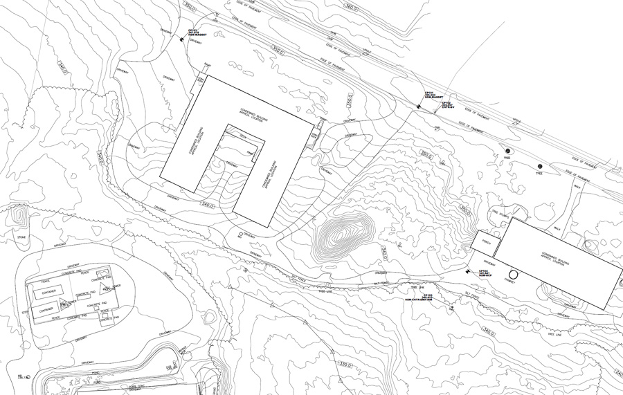
- Topographic Mapping
- Cost Estimates
- Environmental Analysis
- 3D Modeling
- Construction Monitoring
- Project Documentation
Speed and Efficiency
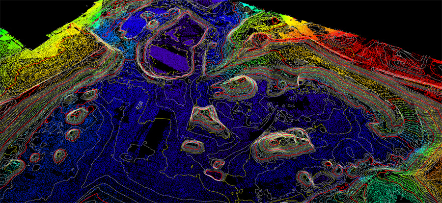
In the realm of data collection, Drone LiDAR systems redefine efficiency, swiftly capturing vast areas and minimizing the time and labor associated. Our daily operations leverage advanced sensors, cameras, and mapping technology, resulting in the effective combination of high-performance technology and human expertise. At the core of our methodology lies the integration of cutting-edge technology, complemented by our human expertise. This enables us to furnish highly accurate data in a significantly reduced timeframe and at a fraction of the cost.Accessibility
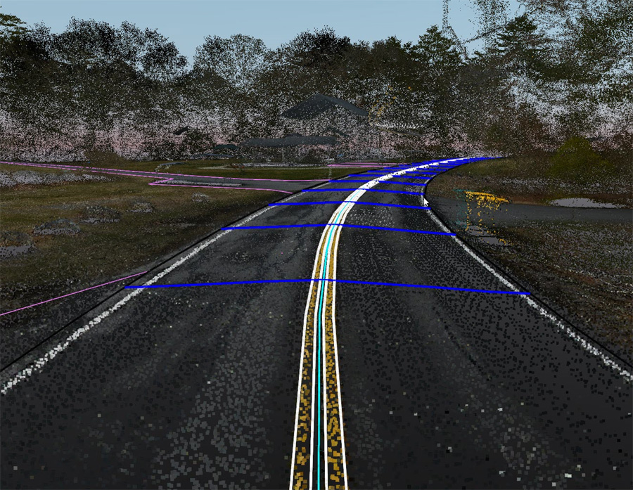
Drones can effortlessly navigate challenging and hazardous terrains, including steep slopes, cliffs, and bodies of water. Particularly noteworthy is the fact that LiDAR-equipped drones can be used to collect highly accurate aerial data in wooded and densely vegetated regions. These cutting-edge sensors deliver precision in mapping, all while minimizing environmental impact, making them the optimal choice for navigating intricate and ecologically sensitive landscapes.Precision
Drone LiDAR stands at the forefront in aerial mapping, delivering exceptionally accurate data. This level of precision has proven invaluable in various civil engineering applications, including but not limited to Topographic Mapping, Construction Monitoring, Flood Modeling and Analysis, Infrastructure Inspection and Monitoring, Environmental Analysis and Urban Planning. The accuracy and reliability of Drone LiDAR make it an essential tool, ensuring the utmost accuracy in critical aspects of civil engineering projects.Safety
The use of Drone LiDAR technology not only optimizes efficiency and data accuracy but also prioritizes the safety of surveying professionals. This innovation significantly reduces the inherent risks associated with conventional surveying methods that often require surveyors to venture into rugged terrains, adverse weather conditions, and other dangerous settings.Inspection and Monitoring
The integration of Drone LiDAR technology for inspecting and monitoring infrastructure represents a groundbreaking advancement in the field of asset management and maintenance. Unlike traditional inspection methods, which often involve labor-intensive and time-consuming processes, Drone LiDAR offers a highly efficient and precise solution for measuring and documenting critical infrastructure elements such as bridges, buildings, and power lines.Real Time Construction Monitoring
At Northeast Site Models, Inc. we strive to save our clients money on each project with added efficiencies and data tracking services. Our Drone LiDAR service can effortlessly track construction progress through routine site visits that deliver real-time updates to confirm that the project is hitting construction benchmarks and milestones. This allows our clients to monitor materials, deliveries, and worker progress to ensure the project stays on courseWe understand each project has unique needs and we are committed to providing you with tailored service and solutions. Our experienced FAA licensed pilots are dedicated to providing the highest level of service and satisfaction. We work closely with our clients to understand their specific project requirements and provide the best solutions for their needs. Trust us to elevate your project to the next level with our affordable, accurate and efficient Cut-Fill service. Contact us today to learn more.
